Halmer End: bridge over former railway line
Introduction
The photograph on this page of Halmer End: bridge over former railway line by Jonathan Hutchins as part of the Geograph project.
The Geograph project started in 2005 with the aim of publishing, organising and preserving representative images for every square kilometre of Great Britain, Ireland and the Isle of Man.

There are currently over 7.5m images from over 14,400 individuals and you can help contribute to the project by visiting https://www.geograph.org.uk
Halmer End: bridge over former railway line
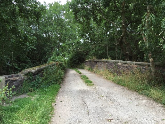
Image: © Jonathan Hutchins Taken: 4 Aug 2015
This is also the lane to Hollins Farm which lies immediately beyond the bridge. This thoroughfare is a public footpath, designated Audley FP 88.
Images are licensed for reuse under creativecommons.org/licenses/by-sa/2.0
Image Location
Latitude
53.041391
Longitude
-2.304368