Public footpath towards High Winder
Introduction
The photograph on this page of Public footpath towards High Winder by Christine Johnstone as part of the Geograph project.
The Geograph project started in 2005 with the aim of publishing, organising and preserving representative images for every square kilometre of Great Britain, Ireland and the Isle of Man.

There are currently over 7.5m images from over 14,400 individuals and you can help contribute to the project by visiting https://www.geograph.org.uk
Public footpath towards High Winder
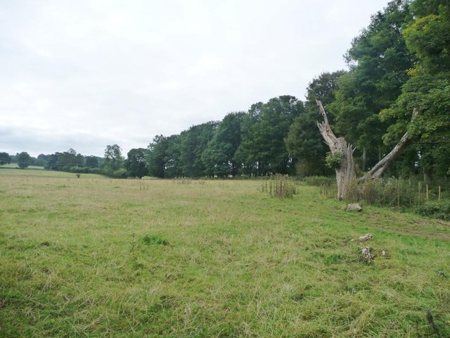
Image: © Christine Johnstone Taken: 26 Sep 2015
Running along the eastern boundary of Broadrim Wood.
Images are licensed for reuse under creativecommons.org/licenses/by-sa/2.0
Image Location
Latitude
54.619222
Longitude
-2.784492