Looking through the Priory Gatehouse
Introduction
The photograph on this page of Looking through the Priory Gatehouse by Alan Murray-Rust as part of the Geograph project.
The Geograph project started in 2005 with the aim of publishing, organising and preserving representative images for every square kilometre of Great Britain, Ireland and the Isle of Man.

There are currently over 7.5m images from over 14,400 individuals and you can help contribute to the project by visiting https://www.geograph.org.uk
Looking through the Priory Gatehouse
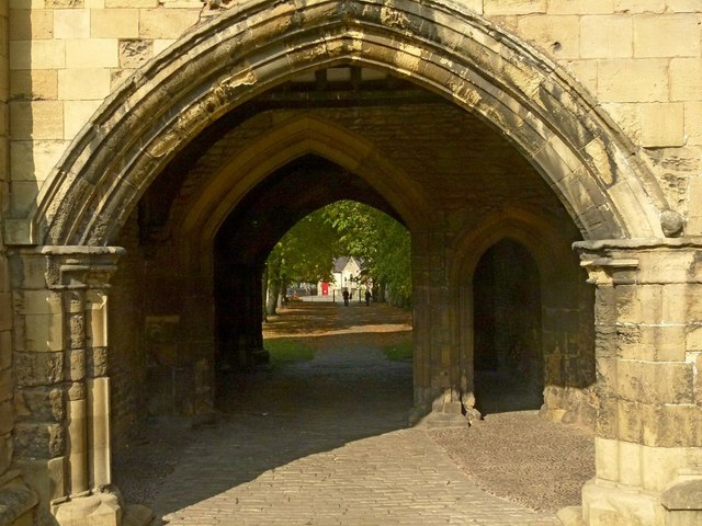
Image: © Alan Murray-Rust Taken: 4 Oct 2015
Priorswell Road ran through this arch until 1894 when the current alignment to the west of the gatehouse was created.
Images are licensed for reuse under creativecommons.org/licenses/by-sa/2.0
Image Location
Latitude
53.302873
Longitude
-1.11627