Kirkham boundary sign, Blackpool Road, Dowbridge
Introduction
The photograph on this page of Kirkham boundary sign, Blackpool Road, Dowbridge by Christine Johnstone as part of the Geograph project.
The Geograph project started in 2005 with the aim of publishing, organising and preserving representative images for every square kilometre of Great Britain, Ireland and the Isle of Man.

There are currently over 7.5m images from over 14,400 individuals and you can help contribute to the project by visiting https://www.geograph.org.uk
Kirkham boundary sign, Blackpool Road, Dowbridge
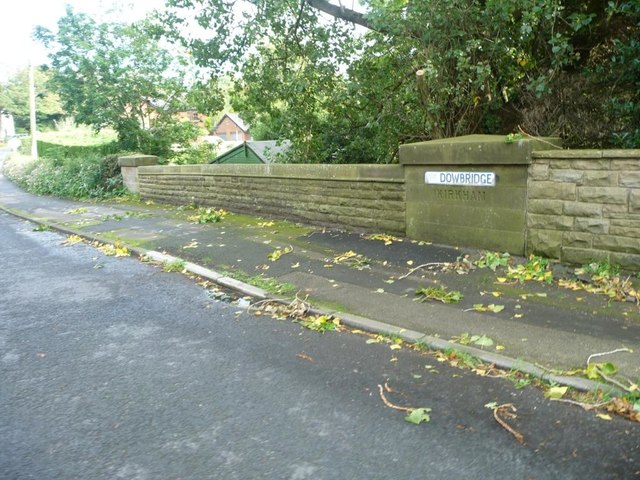
Image: © Christine Johnstone Taken: 5 Oct 2015
Dow Brook is a parish boundary. The west pillar on the bridge's southern parapet is inscribed 'Kirkham', the east pier 'Newton-with-Scales'.
Images are licensed for reuse under creativecommons.org/licenses/by-sa/2.0
Image Location
Latitude
53.779191
Longitude
-2.857208