St Thomas' Peace Garden in Birmingham
Introduction
The photograph on this page of St Thomas' Peace Garden in Birmingham by Mat Fascione as part of the Geograph project.
The Geograph project started in 2005 with the aim of publishing, organising and preserving representative images for every square kilometre of Great Britain, Ireland and the Isle of Man.

There are currently over 7.5m images from over 14,400 individuals and you can help contribute to the project by visiting https://www.geograph.org.uk
St Thomas' Peace Garden in Birmingham
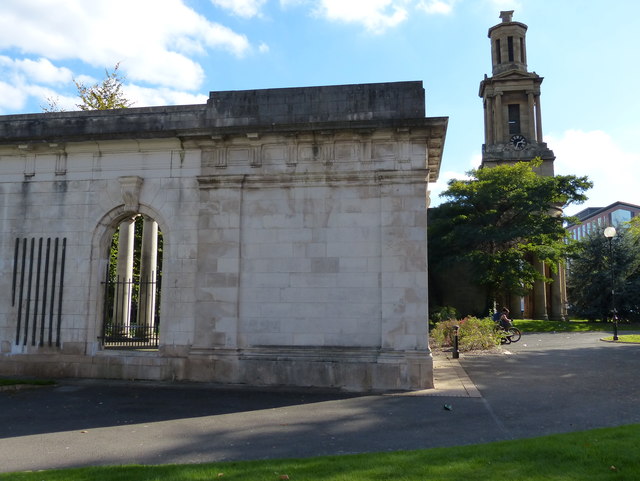
Image: © Mat Fascione Taken: 27 Sep 2015
On the right is the remaining tower of St. Thomas' Church. On the night of 11 December 1940, all but the tower and west portico of the church was destroyed in the Birmingham Blitz.
Images are licensed for reuse under creativecommons.org/licenses/by-sa/2.0
Image Location
Latitude
52.473246
Longitude
-1.906472