Demolition of Werrington Primary School
Introduction
The photograph on this page of Demolition of Werrington Primary School by Stu JP as part of the Geograph project.
The Geograph project started in 2005 with the aim of publishing, organising and preserving representative images for every square kilometre of Great Britain, Ireland and the Isle of Man.

There are currently over 7.5m images from over 14,400 individuals and you can help contribute to the project by visiting https://www.geograph.org.uk
Demolition of Werrington Primary School
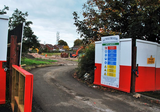
Image: © Stu JP Taken: 8 Oct 2015
Lovell Partnership Ltd make plans to build 31 homes on this derelict piece of land. Workmen and two excavators can be seen in the background.
Images are licensed for reuse under creativecommons.org/licenses/by-sa/2.0
Image Location
Latitude
53.025385
Longitude
-2.091501