Horley North West
Introduction
The photograph on this page of Horley North West by Ian Capper as part of the Geograph project.
The Geograph project started in 2005 with the aim of publishing, organising and preserving representative images for every square kilometre of Great Britain, Ireland and the Isle of Man.

There are currently over 7.5m images from over 14,400 individuals and you can help contribute to the project by visiting https://www.geograph.org.uk
Horley North West
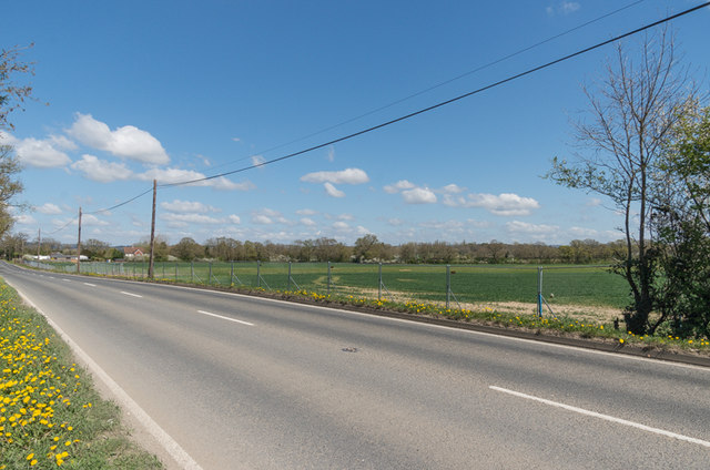
Image: © Ian Capper Taken: 18 Apr 2015
The removal of a hedgerow alongside the A217 Reigate Road and its replacement with fencing marks the site of the access road to the proposed Horley North West development.
Images are licensed for reuse under creativecommons.org/licenses/by-sa/2.0
Image Location
Latitude
51.188231
Longitude
-0.196069