Anglesey over Llansadwrn and Hafotty Covert: aerial 2015
Introduction
The photograph on this page of Anglesey over Llansadwrn and Hafotty Covert: aerial 2015 by Chris as part of the Geograph project.
The Geograph project started in 2005 with the aim of publishing, organising and preserving representative images for every square kilometre of Great Britain, Ireland and the Isle of Man.

There are currently over 7.5m images from over 14,400 individuals and you can help contribute to the project by visiting https://www.geograph.org.uk
Anglesey over Llansadwrn and Hafotty Covert: aerial 2015
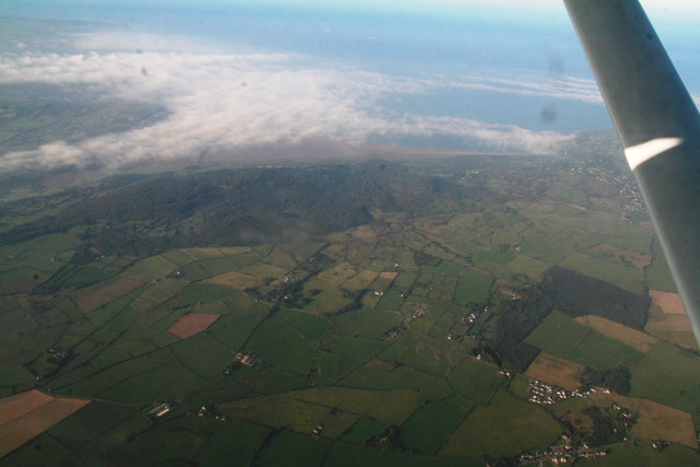
Image: © Chris Taken: 2 Oct 2015
From about 4,000 feet in a Cessna 150 returning to UK from Dublin (Weston).
Images are licensed for reuse under creativecommons.org/licenses/by-sa/2.0
Image Location
Latitude
53.266793
Longitude
-4.155344