River Annan
Introduction
The photograph on this page of River Annan by Richard Webb as part of the Geograph project.
The Geograph project started in 2005 with the aim of publishing, organising and preserving representative images for every square kilometre of Great Britain, Ireland and the Isle of Man.

There are currently over 7.5m images from over 14,400 individuals and you can help contribute to the project by visiting https://www.geograph.org.uk
River Annan
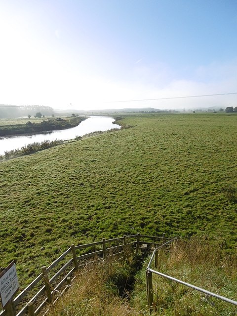
Image: © Richard Webb Taken: 8 Oct 2015
View southwards from the west side of Shillahill Bridge. The river has moved a bit according to the map and occupies a wide flood plain here.
Images are licensed for reuse under creativecommons.org/licenses/by-sa/2.0
Image Location
Latitude
55.111796
Longitude
-3.403163