The Belfast - Dublin road north of Banbridge
Introduction
The photograph on this page of The Belfast - Dublin road north of Banbridge by Albert Bridge as part of the Geograph project.
The Geograph project started in 2005 with the aim of publishing, organising and preserving representative images for every square kilometre of Great Britain, Ireland and the Isle of Man.

There are currently over 7.5m images from over 14,400 individuals and you can help contribute to the project by visiting https://www.geograph.org.uk
The Belfast - Dublin road north of Banbridge
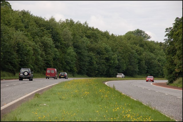
Image: © Albert Bridge Taken: 17 Jun 2007
This is the Belfast – Dublin road at Drumneath (“Drumneth” on the OS map) looking towards Banbridge/Dublin. The road was well landscaped after the loss of most of Brown’s Planting Image
Images are licensed for reuse under creativecommons.org/licenses/by-sa/2.0
Image Location


Leaflet Map data © OpenStreetMap
Latitude
54.37184
Longitude
-6.208132