The Roundabouts, Brimscombe
Introduction
The photograph on this page of The Roundabouts, Brimscombe by Jaggery as part of the Geograph project.
The Geograph project started in 2005 with the aim of publishing, organising and preserving representative images for every square kilometre of Great Britain, Ireland and the Isle of Man.

There are currently over 7.5m images from over 14,400 individuals and you can help contribute to the project by visiting https://www.geograph.org.uk
The Roundabouts, Brimscombe
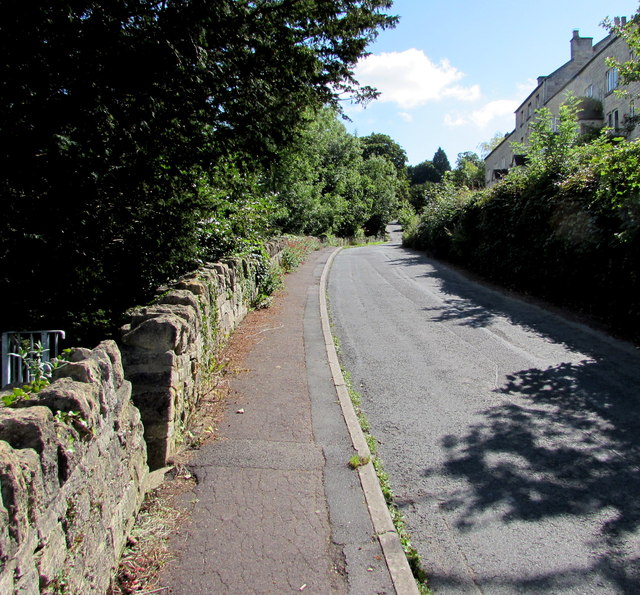
Image: © Jaggery Taken: 6 Sep 2015
Viewed from near a gap in the wall, a side entrance to Holy Trinity Church. http://www.geograph.org.uk/photo/4688467 From this view, the reason for the name of the road, The Roundabouts, is unclear. Maps show that The Roundabouts is indeed a roundabout road. Its complete course resembles a triangle.
Images are licensed for reuse under creativecommons.org/licenses/by-sa/2.0
Image Location
Latitude
51.716926
Longitude
-2.194496