Bench mark, 79 Bridge Street
Introduction
The photograph on this page of Bench mark, 79 Bridge Street by Alan Murray-Rust as part of the Geograph project.
The Geograph project started in 2005 with the aim of publishing, organising and preserving representative images for every square kilometre of Great Britain, Ireland and the Isle of Man.

There are currently over 7.5m images from over 14,400 individuals and you can help contribute to the project by visiting https://www.geograph.org.uk
Bench mark, 79 Bridge Street
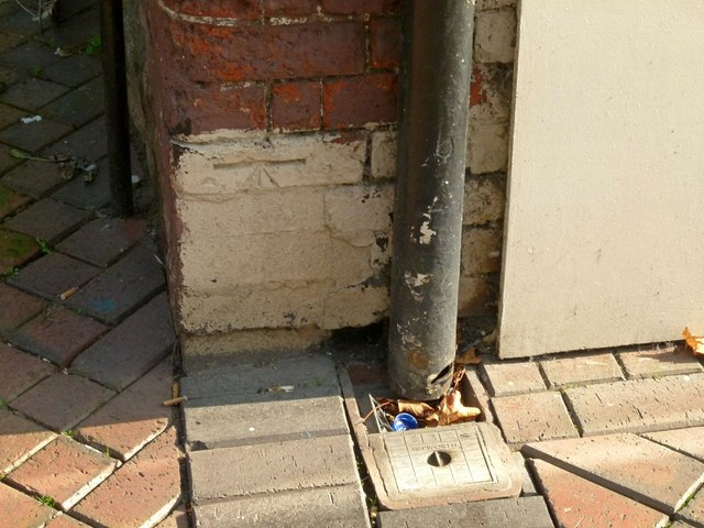
Image: © Alan Murray-Rust Taken: 4 Oct 2015
This is an early bench mark, dating from the First Primary levelling of England and Wales in 1845. It was part of the branch levelling around the town centre from mark 95, recorded as being Dr. Hayes's house http://www.bench-marks.org.uk/ew1gl/1GLA_348.png . See http://www.geograph.org.uk/photo/4690604 for location.
Images are licensed for reuse under creativecommons.org/licenses/by-sa/2.0
Image Location
Latitude
53.302485
Longitude
-1.124682