From Castle Lane to Castle Close, Warwick
Introduction
The photograph on this page of From Castle Lane to Castle Close, Warwick by Jaggery as part of the Geograph project.
The Geograph project started in 2005 with the aim of publishing, organising and preserving representative images for every square kilometre of Great Britain, Ireland and the Isle of Man.

There are currently over 7.5m images from over 14,400 individuals and you can help contribute to the project by visiting https://www.geograph.org.uk
From Castle Lane to Castle Close, Warwick
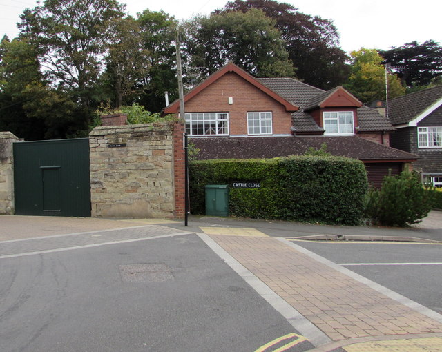
Image: © Jaggery Taken: 3 Oct 2015
Castle Lane is on the left, Castle Close on the right. Not in public use, the gate on the left is in the perimeter wall of Warwick Castle grounds.
Images are licensed for reuse under creativecommons.org/licenses/by-sa/2.0
Image Location
Latitude
52.278836
Longitude
-1.590428