West Street pedestrian refuge, Warwick
Introduction
The photograph on this page of West Street pedestrian refuge, Warwick by Jaggery as part of the Geograph project.
The Geograph project started in 2005 with the aim of publishing, organising and preserving representative images for every square kilometre of Great Britain, Ireland and the Isle of Man.

There are currently over 7.5m images from over 14,400 individuals and you can help contribute to the project by visiting https://www.geograph.org.uk
West Street pedestrian refuge, Warwick
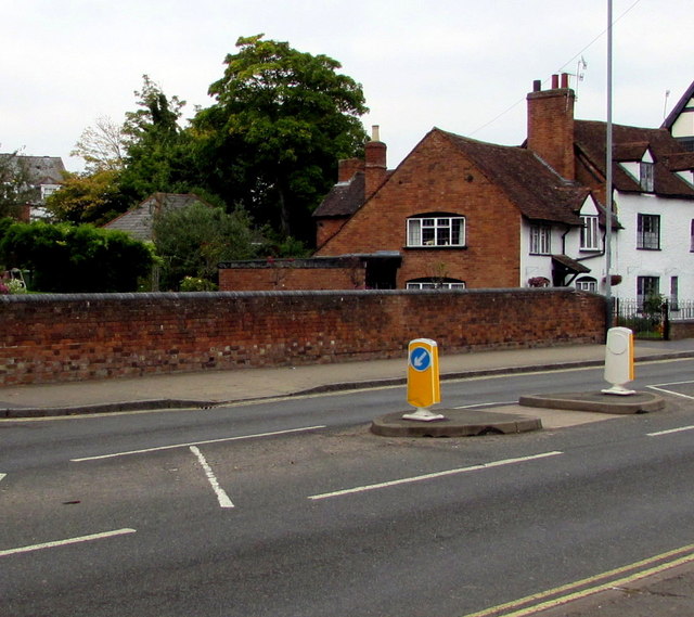
Image: © Jaggery Taken: 3 Oct 2015
West Street is part of the A429, the main road through the centre of Warwick, formerly the route of the A46. The designation was changed when the Warwick Bypass became the route of the A46 in this area.
Images are licensed for reuse under creativecommons.org/licenses/by-sa/2.0
Image Location


Leaflet Map data © OpenStreetMap
Latitude
52.276601
Longitude
-1.59382