View south from the A691 near Kaysburn
Introduction
The photograph on this page of View south from the A691 near Kaysburn by Robert Graham as part of the Geograph project.
The Geograph project started in 2005 with the aim of publishing, organising and preserving representative images for every square kilometre of Great Britain, Ireland and the Isle of Man.

There are currently over 7.5m images from over 14,400 individuals and you can help contribute to the project by visiting https://www.geograph.org.uk
View south from the A691 near Kaysburn
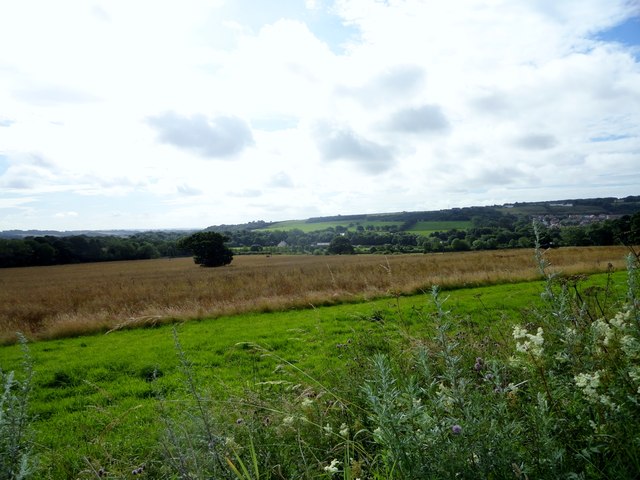
Image: © Robert Graham Taken: 5 Aug 2015
View from beside the Durham to Consett road near Stobbilee House. Looking south over Langley Park to the south side of the Browney valley.
Images are licensed for reuse under creativecommons.org/licenses/by-sa/2.0
Image Location
Latitude
54.803822
Longitude
-1.665505