North side of Blaenavon Fire Station
Introduction
The photograph on this page of North side of Blaenavon Fire Station by Jaggery as part of the Geograph project.
The Geograph project started in 2005 with the aim of publishing, organising and preserving representative images for every square kilometre of Great Britain, Ireland and the Isle of Man.

There are currently over 7.5m images from over 14,400 individuals and you can help contribute to the project by visiting https://www.geograph.org.uk
North side of Blaenavon Fire Station
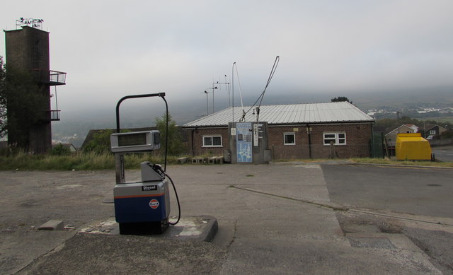
Image: © Jaggery Taken: 2 Oct 2015
Fire Station tower on the left, Fire Station in the middle, Firefighters' Charity donations bin http://www.geograph.org.uk/photo/4689574 on the right. The Gulf diesel pump is part of the filling station site http://www.geograph.org.uk/photo/4686396 behind the camera.
Images are licensed for reuse under creativecommons.org/licenses/by-sa/2.0
Image Location
Latitude
51.776804
Longitude
-3.086158