River Nairn at Fishertown
Introduction
The photograph on this page of River Nairn at Fishertown by Robert Murray as part of the Geograph project.
The Geograph project started in 2005 with the aim of publishing, organising and preserving representative images for every square kilometre of Great Britain, Ireland and the Isle of Man.

There are currently over 7.5m images from over 14,400 individuals and you can help contribute to the project by visiting https://www.geograph.org.uk
River Nairn at Fishertown
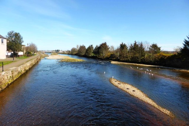
Image: © Robert Murray Taken: 8 Apr 2015
Almost at the Moray Firth. (Or the Firth of Murray as some old maps name it)
Images are licensed for reuse under creativecommons.org/licenses/by-sa/2.0
Image Location


Leaflet Map data © OpenStreetMap
Latitude
57.587295
Longitude
-3.862994