Field near Foxhole
Introduction
The photograph on this page of Field near Foxhole by Derek Harper as part of the Geograph project.
The Geograph project started in 2005 with the aim of publishing, organising and preserving representative images for every square kilometre of Great Britain, Ireland and the Isle of Man.

There are currently over 7.5m images from over 14,400 individuals and you can help contribute to the project by visiting https://www.geograph.org.uk
Field near Foxhole
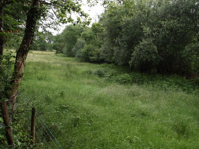
Image: © Derek Harper Taken: 15 Jun 2007
The laneside edge of this field looks improved, but live.com suggests that, behind the trees, the majority of it is heathland. Seen from the lane climbing from Foxhole to Witherdon.
Images are licensed for reuse under creativecommons.org/licenses/by-sa/2.0
Image Location
Latitude
50.748029
Longitude
-4.238724