Lane near Foxhole
Introduction
The photograph on this page of Lane near Foxhole by Derek Harper as part of the Geograph project.
The Geograph project started in 2005 with the aim of publishing, organising and preserving representative images for every square kilometre of Great Britain, Ireland and the Isle of Man.

There are currently over 7.5m images from over 14,400 individuals and you can help contribute to the project by visiting https://www.geograph.org.uk
Lane near Foxhole
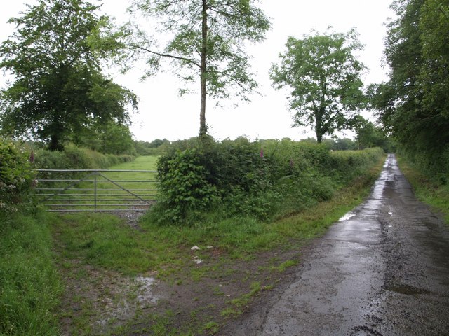
Image: © Derek Harper Taken: 15 Jun 2007
The winding lane along the River Carey valley starts to straighten out as it leaves Foxhol and begins the climb to Witherdon.
Images are licensed for reuse under creativecommons.org/licenses/by-sa/2.0
Image Location


Leaflet Map data © OpenStreetMap
Latitude
50.750741
Longitude
-4.242682