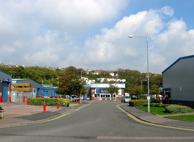
Stevenson Road, Brighton
Introduction
The photograph on this page of Stevenson Road, Brighton by Simon Carey as part of the Geograph project.
The Geograph project started in 2005 with the aim of publishing, organising and preserving representative images for every square kilometre of Great Britain, Ireland and the Isle of Man.
There are currently over 7.5m images from over 14,400 individuals and you can help contribute to the project by visiting https://www.geograph.org.uk

Image: © Simon Carey Taken: 4 Oct 2015
Containing Freshfield industrial Estate that was built in the mid 1970s on the site of the former sidings of Kemp Town station. The line was opened in 1869 and contained two halts, one at Lewes Road that was opened in 1873 and another at Hartington Road that followed in 1906. However, passenger traffic was never great and both closed in 1911 the remaining passenger services ceasing in 1933 after which the branch was used for freight only. That too dwindled by the 1960s down to just one coal train a day. With a viaduct, a road bridge and a tunnel to maintain the cost outweighed the benefit and the line closed for good in 1971. See http://regencysociety-jamesgray.com/volume22/source/jg_22_133.html for a view taken in 1969 from the cliff top to the north.

