Albion Hill, Brighton
Introduction
The photograph on this page of Albion Hill, Brighton by Simon Carey as part of the Geograph project.
The Geograph project started in 2005 with the aim of publishing, organising and preserving representative images for every square kilometre of Great Britain, Ireland and the Isle of Man.

There are currently over 7.5m images from over 14,400 individuals and you can help contribute to the project by visiting https://www.geograph.org.uk
Albion Hill, Brighton
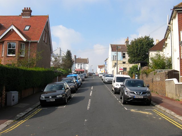
Image: © Simon Carey Taken: 4 Oct 2015
The road runs from Albion Street in the west to West Drive in the east climbing the hill and crossing Queens Park Road in the process. This section between the latter and West Drive was added in the 1880s.
Images are licensed for reuse under creativecommons.org/licenses/by-sa/2.0
Image Location
Latitude
50.825718
Longitude
-0.12707