Water Lane, Brimscombe
Introduction
The photograph on this page of Water Lane, Brimscombe by Jaggery as part of the Geograph project.
The Geograph project started in 2005 with the aim of publishing, organising and preserving representative images for every square kilometre of Great Britain, Ireland and the Isle of Man.

There are currently over 7.5m images from over 14,400 individuals and you can help contribute to the project by visiting https://www.geograph.org.uk
Water Lane, Brimscombe
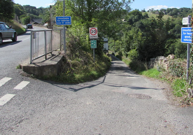
Image: © Jaggery Taken: 6 Sep 2015
Descending from Brimscombe Hill, Water Lane is unsuitable for vehicles over 6' wide. Below the 20 Zone sign, a green sign shows Rodborough Quiet Lane. The signpost arm on the right shows Swells Hill and Bagpath.
Images are licensed for reuse under creativecommons.org/licenses/by-sa/2.0
Image Location


Leaflet Map data © OpenStreetMap
Latitude
51.717283
Longitude
-2.19638