Castle Street, Ruthin
Introduction
The photograph on this page of Castle Street, Ruthin by Jeff Buck as part of the Geograph project.
The Geograph project started in 2005 with the aim of publishing, organising and preserving representative images for every square kilometre of Great Britain, Ireland and the Isle of Man.

There are currently over 7.5m images from over 14,400 individuals and you can help contribute to the project by visiting https://www.geograph.org.uk
Castle Street, Ruthin
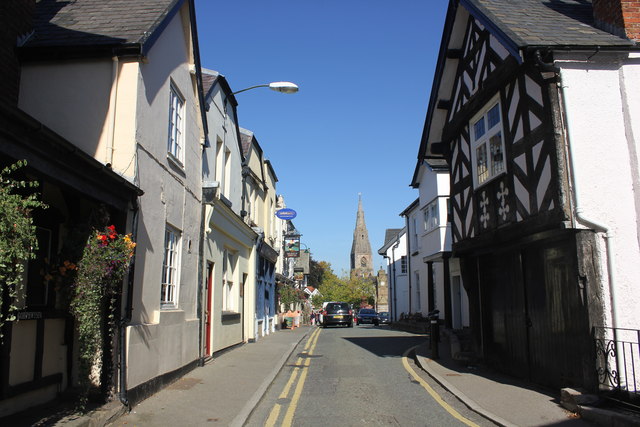
Image: © Jeff Buck Taken: 2 Oct 2015
All buildings on Castle Street are listed by Cadw as they are the earliest settlements outside the walls of the castle. Some have burgage plots at the back, established by Baron de Grey in 1283. The plots and linear have barely changed since their foundation. *Source: Wikipedia.
Images are licensed for reuse under creativecommons.org/licenses/by-sa/2.0
Image Location


Leaflet Map data © OpenStreetMap
Latitude
53.113847
Longitude
-3.310652