St Clare's Primary School, Drumchapel
Introduction
The photograph on this page of St Clare's Primary School, Drumchapel by M J Richardson as part of the Geograph project.
The Geograph project started in 2005 with the aim of publishing, organising and preserving representative images for every square kilometre of Great Britain, Ireland and the Isle of Man.

There are currently over 7.5m images from over 14,400 individuals and you can help contribute to the project by visiting https://www.geograph.org.uk
St Clare's Primary School, Drumchapel
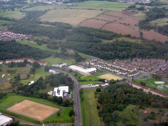
Image: © M J Richardson Taken: 3 Oct 2015
The wooded slope beyond is Garscadden Wood, and marks the boundary between Glasgow and East Dunbartonshire. The course of the Antonine Wall runs across the top of the image.
Images are licensed for reuse under creativecommons.org/licenses/by-sa/2.0
Image Location
Latitude
55.916485
Longitude
-4.36807