Llanover Road houses, Blaenavon
Introduction
The photograph on this page of Llanover Road houses, Blaenavon by Jaggery as part of the Geograph project.
The Geograph project started in 2005 with the aim of publishing, organising and preserving representative images for every square kilometre of Great Britain, Ireland and the Isle of Man.

There are currently over 7.5m images from over 14,400 individuals and you can help contribute to the project by visiting https://www.geograph.org.uk
Llanover Road houses, Blaenavon
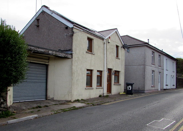
Image: © Jaggery Taken: 23 Sep 2015
Near the western end of Llanover Road. The house on the left is named Hen Dŷ Cerrig.
Images are licensed for reuse under creativecommons.org/licenses/by-sa/2.0
Image Location
Latitude
51.77256
Longitude
-3.078374