Hollingbury Road, Hollingdean, Brighton
Introduction
The photograph on this page of Hollingbury Road, Hollingdean, Brighton by Simon Carey as part of the Geograph project.
The Geograph project started in 2005 with the aim of publishing, organising and preserving representative images for every square kilometre of Great Britain, Ireland and the Isle of Man.

There are currently over 7.5m images from over 14,400 individuals and you can help contribute to the project by visiting https://www.geograph.org.uk
Hollingbury Road, Hollingdean, Brighton
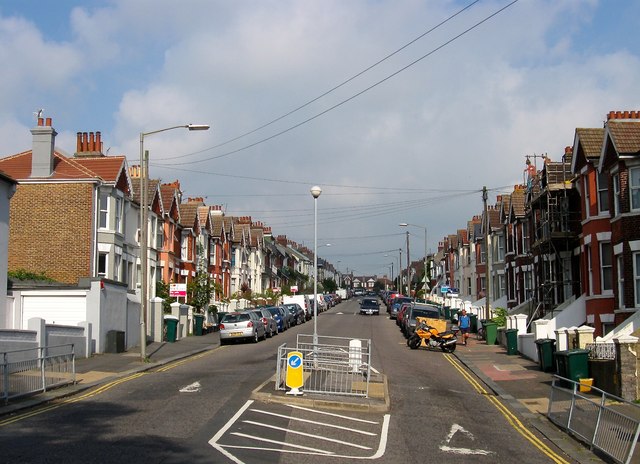
Image: © Simon Carey Taken: 4 Oct 2015
The road runs from Upper Hollingdean Road to Fiveways with the western side developed in the late 1890s and the eastern side a decade later. Despite being a residential road it has always been a bit of a rat run for those wishing to get to or come from Lewes Road.
Images are licensed for reuse under creativecommons.org/licenses/by-sa/2.0
Image Location
Latitude
50.841547
Longitude
-0.132686