Longwood Edge at Nab End, Longwood
Introduction
The photograph on this page of Longwood Edge at Nab End, Longwood by Humphrey Bolton as part of the Geograph project.
The Geograph project started in 2005 with the aim of publishing, organising and preserving representative images for every square kilometre of Great Britain, Ireland and the Isle of Man.

There are currently over 7.5m images from over 14,400 individuals and you can help contribute to the project by visiting https://www.geograph.org.uk
Longwood Edge at Nab End, Longwood
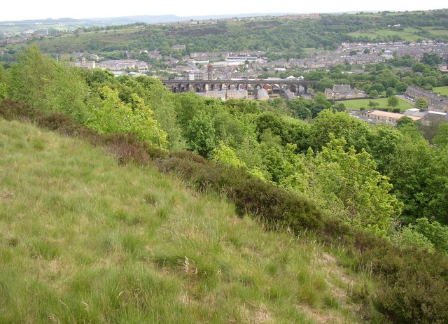
Image: © Humphrey Bolton Taken: 20 May 2007
Along the top there are moorland grasses, then heather on the slope. Around the south and east side of Nab End there is woodland. The railway viaduct at Milnsbridge is in the distance.
Images are licensed for reuse under creativecommons.org/licenses/by-sa/2.0
Image Location
Latitude
53.64579
Longitude
-1.832052