Track up to Nab End, Longwood
Introduction
The photograph on this page of Track up to Nab End, Longwood by Humphrey Bolton as part of the Geograph project.
The Geograph project started in 2005 with the aim of publishing, organising and preserving representative images for every square kilometre of Great Britain, Ireland and the Isle of Man.

There are currently over 7.5m images from over 14,400 individuals and you can help contribute to the project by visiting https://www.geograph.org.uk
Track up to Nab End, Longwood
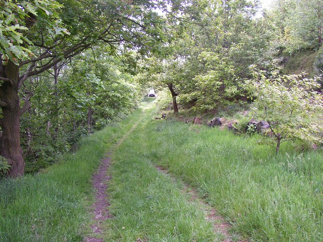
Image: © Humphrey Bolton Taken: 20 May 2007
This is the only access to the tower etc for vehicles, from Bull Green Road; evidently not used very often.
Images are licensed for reuse under creativecommons.org/licenses/by-sa/2.0
Image Location
Latitude
53.645792
Longitude
-1.833564