Lane near Rushybank
Introduction
The photograph on this page of Lane near Rushybank by Derek Harper as part of the Geograph project.
The Geograph project started in 2005 with the aim of publishing, organising and preserving representative images for every square kilometre of Great Britain, Ireland and the Isle of Man.

There are currently over 7.5m images from over 14,400 individuals and you can help contribute to the project by visiting https://www.geograph.org.uk
Lane near Rushybank
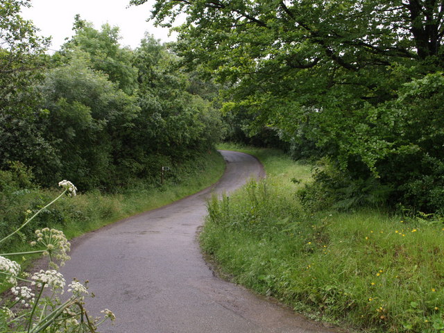
Image: © Derek Harper Taken: 15 Jun 2007
The lane from Tetcott to Chapmans Well performs a double bend as it crosses a small stream. The sign marks the start of Luffincott Footpath 3.
Images are licensed for reuse under creativecommons.org/licenses/by-sa/2.0
Image Location
Latitude
50.725964
Longitude
-4.336435