Top of Fish Wynd, Kirkcaldy
Introduction
The photograph on this page of Top of Fish Wynd, Kirkcaldy by Bill Kasman as part of the Geograph project.
The Geograph project started in 2005 with the aim of publishing, organising and preserving representative images for every square kilometre of Great Britain, Ireland and the Isle of Man.

There are currently over 7.5m images from over 14,400 individuals and you can help contribute to the project by visiting https://www.geograph.org.uk
Top of Fish Wynd, Kirkcaldy
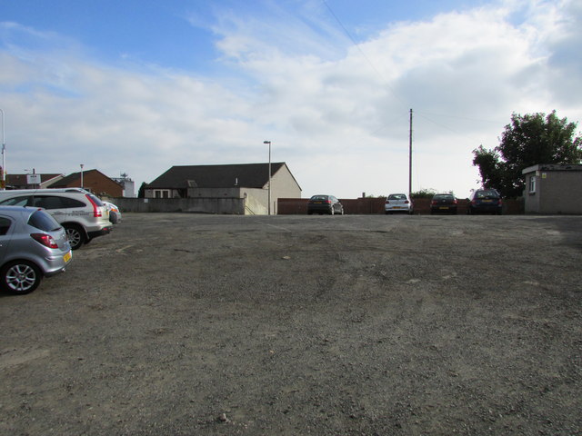
Image: © Bill Kasman Taken: 3 Oct 2015
This rough car park off St Mary's Road, Kirkcaldy, leads to the top of Fish Wynd, a steep set of steps leading down to the harbour. The lamp-post next to the house indicates the top of the steps. For a closer view of the Wynd see this photo Image]
Images are licensed for reuse under creativecommons.org/licenses/by-sa/2.0
Image Location
Latitude
56.115801
Longitude
-3.153857