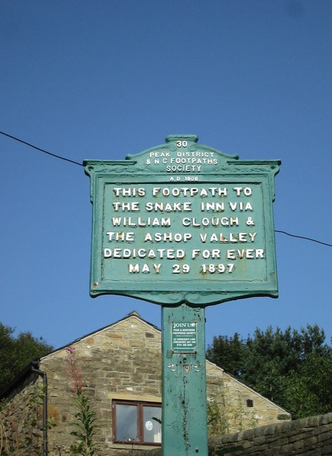
History on a footpath sign securing an ancient route
Introduction
The photograph on this page of History on a footpath sign securing an ancient route by Martin Dawes as part of the Geograph project.
The Geograph project started in 2005 with the aim of publishing, organising and preserving representative images for every square kilometre of Great Britain, Ireland and the Isle of Man.
There are currently over 7.5m images from over 14,400 individuals and you can help contribute to the project by visiting https://www.geograph.org.uk

Image: © Martin Dawes Taken: 8 Sep 2015
The Peak District and Northern Counties Footpaths Preservation Society formed in 1894 to protect ancient routes. The Snake Path was one of their first routes secured by agreement with the Duke of Devonshire, as the sign says, Dedicated for ever May 29 1897. On the back of the sign is written, Altitude 705.6 feet. Wonderful signposts and we looked out for them over the next 84 miles till our return to Hayfield

