Bridleway and Thwaite House Farm
Introduction
The photograph on this page of Bridleway and Thwaite House Farm by Jonathan Thacker as part of the Geograph project.
The Geograph project started in 2005 with the aim of publishing, organising and preserving representative images for every square kilometre of Great Britain, Ireland and the Isle of Man.

There are currently over 7.5m images from over 14,400 individuals and you can help contribute to the project by visiting https://www.geograph.org.uk
Bridleway and Thwaite House Farm
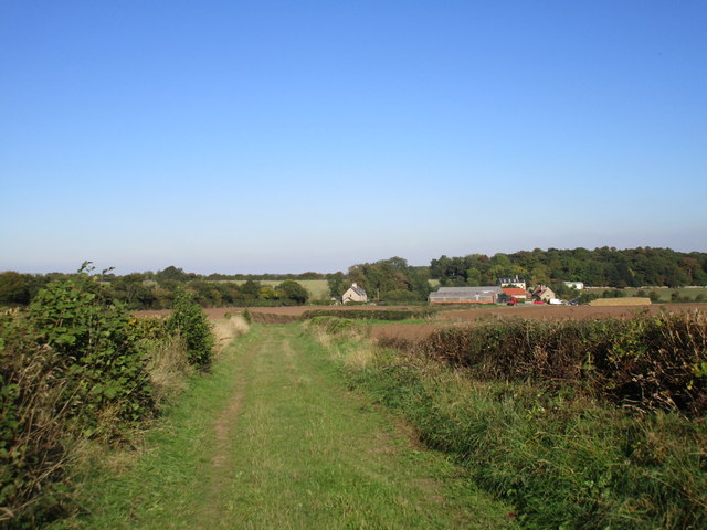
Image: © Jonathan Thacker Taken: 2 Oct 2015
Thwaite House Farm Cottages in the very centre of the picture, Thwaite House Farm a little to the right. Larger farms often had cottages for the labourers at a discrete distance from the farmhouse itself. Most are now occupied by non-farm workers.
Images are licensed for reuse under creativecommons.org/licenses/by-sa/2.0
Image Location
Latitude
53.384448
Longitude
-1.172767