Private road to Byrd's Farm
Introduction
The photograph on this page of Private road to Byrd's Farm by Robin Webster as part of the Geograph project.
The Geograph project started in 2005 with the aim of publishing, organising and preserving representative images for every square kilometre of Great Britain, Ireland and the Isle of Man.

There are currently over 7.5m images from over 14,400 individuals and you can help contribute to the project by visiting https://www.geograph.org.uk
Private road to Byrd's Farm
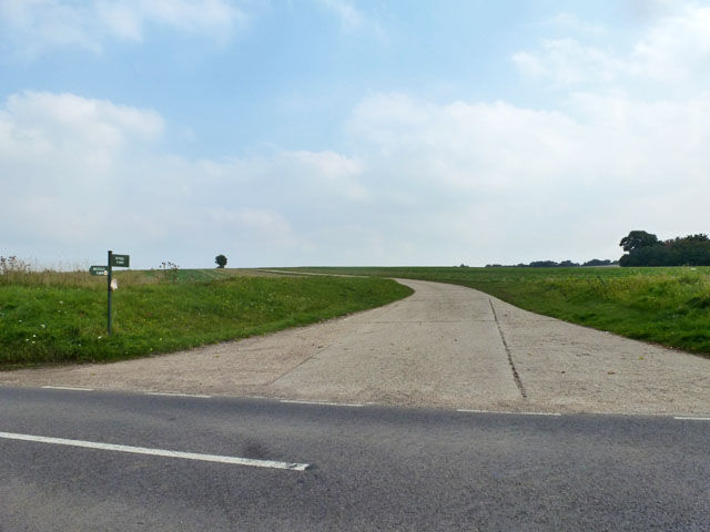
Image: © Robin Webster Taken: 3 Oct 2015
This is also a public footpath, according to the sticker on the sign and the Essex County map. Ordnance Survey do not seem to have caught up with this yet.
Images are licensed for reuse under creativecommons.org/licenses/by-sa/2.0
Image Location
Latitude
52.037001
Longitude
0.244778