Towards Cardyke Plantation
Introduction
The photograph on this page of Towards Cardyke Plantation by Robert Murray as part of the Geograph project.
The Geograph project started in 2005 with the aim of publishing, organising and preserving representative images for every square kilometre of Great Britain, Ireland and the Isle of Man.

There are currently over 7.5m images from over 14,400 individuals and you can help contribute to the project by visiting https://www.geograph.org.uk
Towards Cardyke Plantation
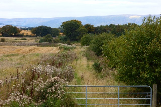
Image: © Robert Murray Taken: 3 Oct 2015
Track is now well overgrown and probably rarely used.
Images are licensed for reuse under creativecommons.org/licenses/by-sa/2.0
Image Location
Latitude
55.9048
Longitude
-4.157934