Shelford Manor Farm
Introduction
The photograph on this page of Shelford Manor Farm by Tom Courtney as part of the Geograph project.
The Geograph project started in 2005 with the aim of publishing, organising and preserving representative images for every square kilometre of Great Britain, Ireland and the Isle of Man.

There are currently over 7.5m images from over 14,400 individuals and you can help contribute to the project by visiting https://www.geograph.org.uk
Shelford Manor Farm
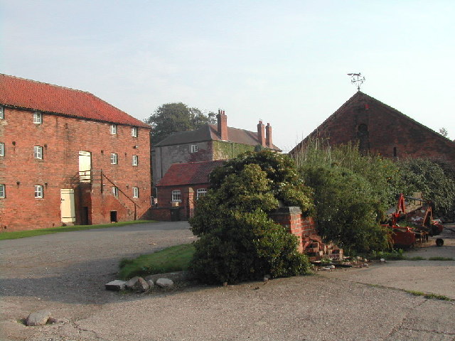
Image: © Tom Courtney Taken: 31 Aug 2005
At the back can be seen the manor house, In the time of the Civil War Shelford Manor was garrisoned for the King under Colonel Philip Stanhope
Images are licensed for reuse under creativecommons.org/licenses/by-sa/2.0
Image Location
Latitude
52.982851
Longitude
-1.002014