Everton Farm
Introduction
The photograph on this page of Everton Farm by Thomas Nugent as part of the Geograph project.
The Geograph project started in 2005 with the aim of publishing, organising and preserving representative images for every square kilometre of Great Britain, Ireland and the Isle of Man.

There are currently over 7.5m images from over 14,400 individuals and you can help contribute to the project by visiting https://www.geograph.org.uk
Everton Farm
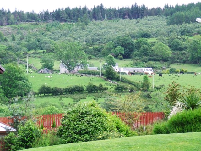
Image: © Thomas Nugent Taken: 16 Jun 2007
Viewed from Cullen Crescent, Leapmoor Forest is on the horizon.
Images are licensed for reuse under creativecommons.org/licenses/by-sa/2.0
Image Location


Leaflet Map data © OpenStreetMap
Latitude
55.900208
Longitude
-4.85551