Bunker's Hill, Beaumaris
Introduction
The photograph on this page of Bunker's Hill, Beaumaris by Jeff Buck as part of the Geograph project.
The Geograph project started in 2005 with the aim of publishing, organising and preserving representative images for every square kilometre of Great Britain, Ireland and the Isle of Man.

There are currently over 7.5m images from over 14,400 individuals and you can help contribute to the project by visiting https://www.geograph.org.uk
Bunker's Hill, Beaumaris
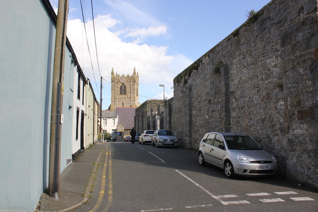
Image: © Jeff Buck Taken: 25 Sep 2015
Beaumaris Gaol is on the right and the tower of the 14th century St Mary's parish church is ahead.
Images are licensed for reuse under creativecommons.org/licenses/by-sa/2.0
Image Location
Latitude
53.263461
Longitude
-4.095197