Yr Aelwyd
Introduction
The photograph on this page of Yr Aelwyd by Ian Capper as part of the Geograph project.
The Geograph project started in 2005 with the aim of publishing, organising and preserving representative images for every square kilometre of Great Britain, Ireland and the Isle of Man.

There are currently over 7.5m images from over 14,400 individuals and you can help contribute to the project by visiting https://www.geograph.org.uk
Yr Aelwyd
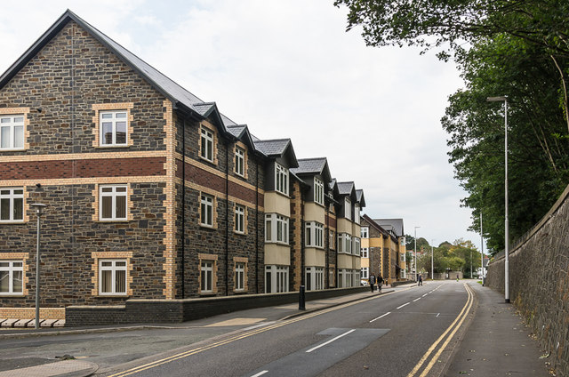
Image: © Ian Capper Taken: 11 Sep 2015
Apartment block on Llanbadarn Road. The block beyond is Yr Hen Aelwyd (see Image). As the names suggest, Yr Aelwyd is the more recent of the two blocks.
Images are licensed for reuse under creativecommons.org/licenses/by-sa/2.0
Image Location
Latitude
52.415296
Longitude
-4.0761