Halwill Moor Plantation
Introduction
The photograph on this page of Halwill Moor Plantation by Derek Harper as part of the Geograph project.
The Geograph project started in 2005 with the aim of publishing, organising and preserving representative images for every square kilometre of Great Britain, Ireland and the Isle of Man.

There are currently over 7.5m images from over 14,400 individuals and you can help contribute to the project by visiting https://www.geograph.org.uk
Halwill Moor Plantation
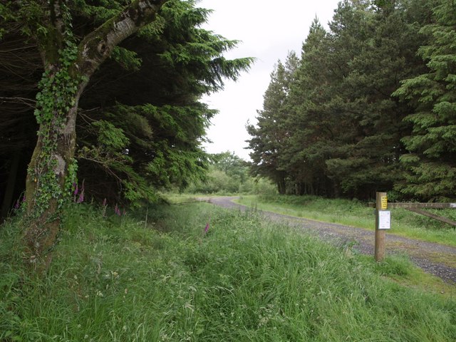
Image: © Derek Harper Taken: 15 Jun 2007
This forms part of Cookworthy Forest, which is how it is labelled on the adjacent sign beside this entrance off the A3079 about a kilometre west of Halwill Junction.
Images are licensed for reuse under creativecommons.org/licenses/by-sa/2.0
Image Location
Latitude
50.784505
Longitude
-4.231387