Holliers Walk Primary School
Introduction
The photograph on this page of Holliers Walk Primary School by Roger Templeman as part of the Geograph project.
The Geograph project started in 2005 with the aim of publishing, organising and preserving representative images for every square kilometre of Great Britain, Ireland and the Isle of Man.

There are currently over 7.5m images from over 14,400 individuals and you can help contribute to the project by visiting https://www.geograph.org.uk
Holliers Walk Primary School
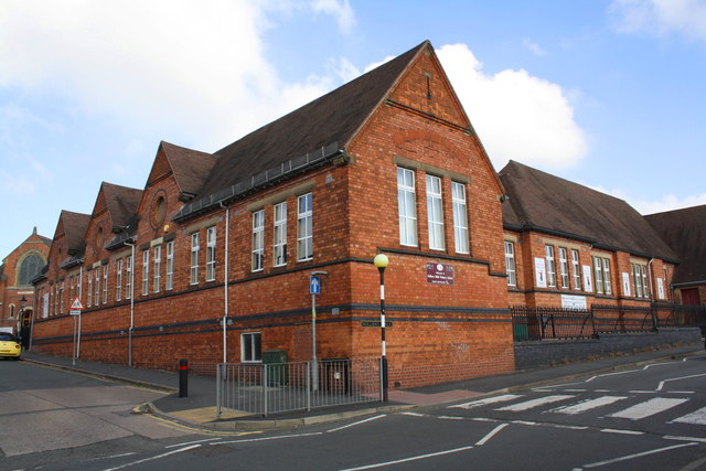
Image: © Roger Templeman Taken: 1 Oct 2015
There is an Ordnance Survey flush bracket benchmark (http://www.bench-marks.org.uk/bm13156 ) on the Albert Road (left hand) face of the school near its far end (by the yellow car).
Images are licensed for reuse under creativecommons.org/licenses/by-sa/2.0
Image Location
Latitude
52.543979
Longitude
-1.370468