Castle Street, Blaenavon
Introduction
The photograph on this page of Castle Street, Blaenavon by Jaggery as part of the Geograph project.
The Geograph project started in 2005 with the aim of publishing, organising and preserving representative images for every square kilometre of Great Britain, Ireland and the Isle of Man.

There are currently over 7.5m images from over 14,400 individuals and you can help contribute to the project by visiting https://www.geograph.org.uk
Castle Street, Blaenavon
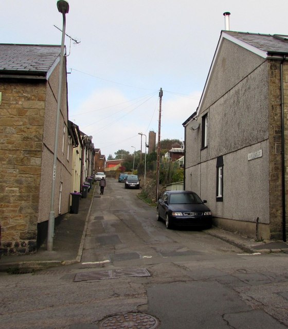
Image: © Jaggery Taken: 2 Oct 2015
Viewed across Phillips Street. Castle Street is a dead end for motor vehicles. Walkers can use a path (past the fire station) to Abergavenny Road. The fire station tower is in the background on the right.
Images are licensed for reuse under creativecommons.org/licenses/by-sa/2.0
Image Location
Latitude
51.776539
Longitude
-3.085572