The B5320 between Tirril and Yanwath
Introduction
The photograph on this page of The B5320 between Tirril and Yanwath by Christine Johnstone as part of the Geograph project.
The Geograph project started in 2005 with the aim of publishing, organising and preserving representative images for every square kilometre of Great Britain, Ireland and the Isle of Man.

There are currently over 7.5m images from over 14,400 individuals and you can help contribute to the project by visiting https://www.geograph.org.uk
The B5320 between Tirril and Yanwath
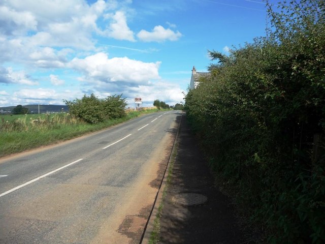
Image: © Christine Johnstone Taken: 19 Sep 2015
Heading north-west to Eamont Bridge and Penrith.
Images are licensed for reuse under creativecommons.org/licenses/by-sa/2.0
Image Location
Latitude
54.636332
Longitude
-2.764991