Drystone wall, east side of the B5320
Introduction
The photograph on this page of Drystone wall, east side of the B5320 by Christine Johnstone as part of the Geograph project.
The Geograph project started in 2005 with the aim of publishing, organising and preserving representative images for every square kilometre of Great Britain, Ireland and the Isle of Man.

There are currently over 7.5m images from over 14,400 individuals and you can help contribute to the project by visiting https://www.geograph.org.uk
Drystone wall, east side of the B5320
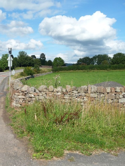
Image: © Christine Johnstone Taken: 19 Sep 2015
The road is rising northwards to cross the main railway line.
Images are licensed for reuse under creativecommons.org/licenses/by-sa/2.0
Image Location
Latitude
54.640949
Longitude
-2.759654