House on a road junction
Introduction
The photograph on this page of House on a road junction by Philip Halling as part of the Geograph project.
The Geograph project started in 2005 with the aim of publishing, organising and preserving representative images for every square kilometre of Great Britain, Ireland and the Isle of Man.

There are currently over 7.5m images from over 14,400 individuals and you can help contribute to the project by visiting https://www.geograph.org.uk
House on a road junction
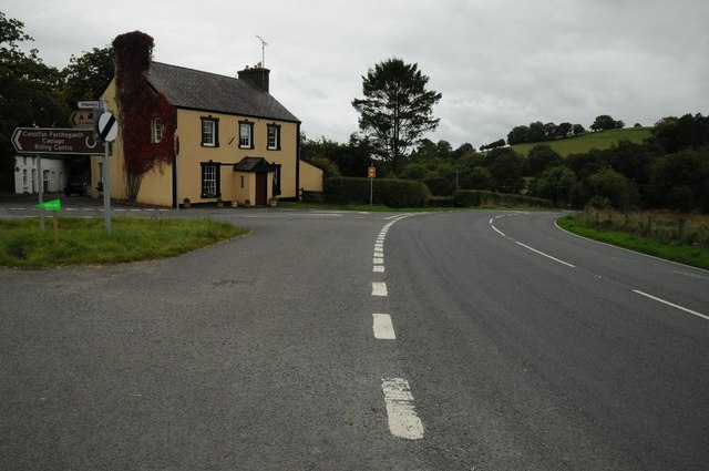
Image: © Philip Halling Taken: 20 Sep 2015
This house beside the A482 at its junction with Sarn Helen, the former Roman Road has the appearance that it was once a public house.
Images are licensed for reuse under creativecommons.org/licenses/by-sa/2.0
Image Location


Leaflet Map data © OpenStreetMap
Latitude
52.064234
Longitude
-3.973814