Entry gate to River Wey Navigation
Introduction
The photograph on this page of Entry gate to River Wey Navigation by Robin Webster as part of the Geograph project.
The Geograph project started in 2005 with the aim of publishing, organising and preserving representative images for every square kilometre of Great Britain, Ireland and the Isle of Man.

There are currently over 7.5m images from over 14,400 individuals and you can help contribute to the project by visiting https://www.geograph.org.uk
Entry gate to River Wey Navigation
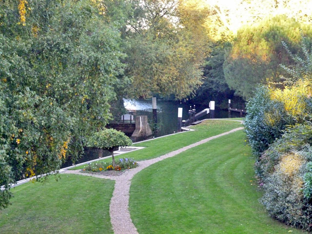
Image: © Robin Webster Taken: 1 Oct 2015
This gate was added to the navigation in the 19th century, when rebuilding of Sunbury Lock on the Thames was accompanied by a lowering of the usual water level in the Thames at the confluence with the Wey. This resulted in the first Wey lock (Thames Lock) having insufficient depth when empty for all but the shallowest draught boats. The short but curved stretch of Wey above this gate and below Thames Lock is known as The Pound, and acts as the lower chamber of a staircase pair as required. It would appear boats can pass in it, if necessary.
Images are licensed for reuse under creativecommons.org/licenses/by-sa/2.0
Image Location
Latitude
51.379139
Longitude
-0.459497