Lock Up Lane, Abersychan
Introduction
The photograph on this page of Lock Up Lane, Abersychan by Jaggery as part of the Geograph project.
The Geograph project started in 2005 with the aim of publishing, organising and preserving representative images for every square kilometre of Great Britain, Ireland and the Isle of Man.

There are currently over 7.5m images from over 14,400 individuals and you can help contribute to the project by visiting https://www.geograph.org.uk
Lock Up Lane, Abersychan
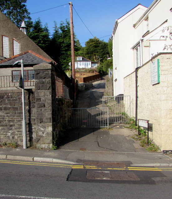
Image: © Jaggery Taken: 2 Oct 2015
Ascending from Snatchwood Road, between a church http://www.geograph.org.uk/photo/4682617 on the left and The Nook Pupil Referral Unit http://www.geograph.org.uk/photo/4678522 on the right. The now demolished Abersychan police station (opened in 1885) used to be nearby.
Images are licensed for reuse under creativecommons.org/licenses/by-sa/2.0
Image Location


Leaflet Map data © OpenStreetMap
Latitude
51.72274
Longitude
-3.059381