East of Ermine Street, near Winterton, N Lincs
Introduction
The photograph on this page of East of Ermine Street, near Winterton, N Lincs by Paul Harrop as part of the Geograph project.
The Geograph project started in 2005 with the aim of publishing, organising and preserving representative images for every square kilometre of Great Britain, Ireland and the Isle of Man.

There are currently over 7.5m images from over 14,400 individuals and you can help contribute to the project by visiting https://www.geograph.org.uk
East of Ermine Street, near Winterton, N Lincs
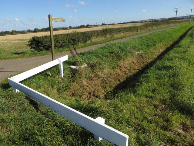
Image: © Paul Harrop Taken: 30 Sep 2015
The public bridleway runs east from the course of the old Roman road, signposted to Horkstow Bridge
Images are licensed for reuse under creativecommons.org/licenses/by-sa/2.0
Image Location


Leaflet Map data © OpenStreetMap
Latitude
53.646188
Longitude
-0.5707