Arable field on the edge of Warkworth
Introduction
The photograph on this page of Arable field on the edge of Warkworth by Graham Robson as part of the Geograph project.
The Geograph project started in 2005 with the aim of publishing, organising and preserving representative images for every square kilometre of Great Britain, Ireland and the Isle of Man.

There are currently over 7.5m images from over 14,400 individuals and you can help contribute to the project by visiting https://www.geograph.org.uk
Arable field on the edge of Warkworth
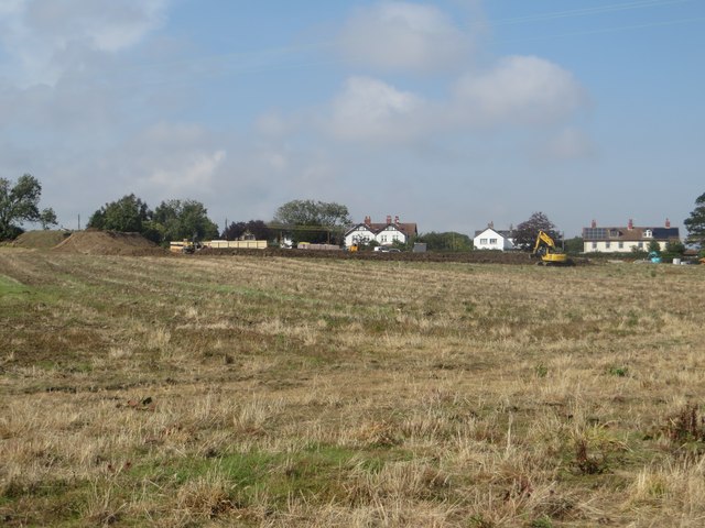
Image: © Graham Robson Taken: 11 Sep 2015
An arable field on the edge of the village of Warkworth. On the far side of the field earth works appear to be taking place, this may be the preparation of a site for a housing development.
Images are licensed for reuse under creativecommons.org/licenses/by-sa/2.0
Image Location
Latitude
55.339612
Longitude
-1.617338