Arable field south of Warkworth
Introduction
The photograph on this page of Arable field south of Warkworth by Graham Robson as part of the Geograph project.
The Geograph project started in 2005 with the aim of publishing, organising and preserving representative images for every square kilometre of Great Britain, Ireland and the Isle of Man.

There are currently over 7.5m images from over 14,400 individuals and you can help contribute to the project by visiting https://www.geograph.org.uk
Arable field south of Warkworth
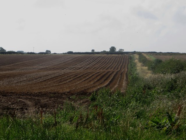
Image: © Graham Robson Taken: 11 Sep 2015
An arable field to the south of Warkworth which has a crop of potatoes in it. The tops of the plants have been killed off prior to the field being harvested.
Images are licensed for reuse under creativecommons.org/licenses/by-sa/2.0
Image Location
Latitude
55.337187
Longitude
-1.617677