Rising Floodwaters
Introduction
The photograph on this page of Rising Floodwaters by Stephen Pearce as part of the Geograph project.
The Geograph project started in 2005 with the aim of publishing, organising and preserving representative images for every square kilometre of Great Britain, Ireland and the Isle of Man.

There are currently over 7.5m images from over 14,400 individuals and you can help contribute to the project by visiting https://www.geograph.org.uk
Rising Floodwaters
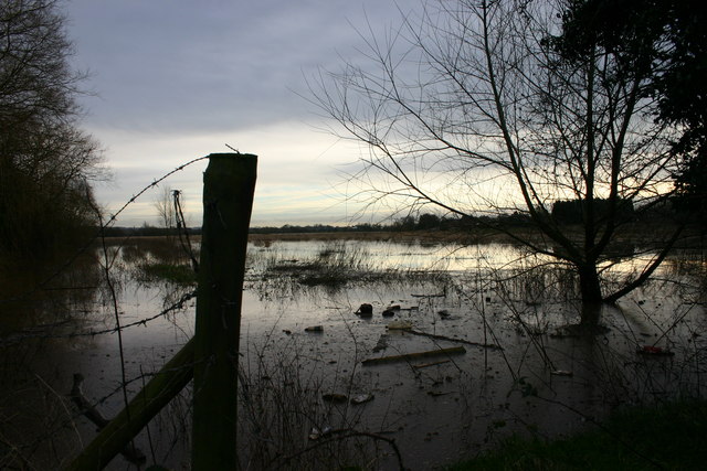
Image: © Stephen Pearce Taken: 19 Jan 2007
The floodplain of the River Penk viewed from Silkmore Lane, Stafford, after some heavy rain.
Images are licensed for reuse under creativecommons.org/licenses/by-sa/2.0
Image Location


Leaflet Map data © OpenStreetMap
Latitude
52.789225
Longitude
-2.105239